The term “invasive carp” refers to several species of related fish that originate from Asia. As many as ten types of carp are considered invasive around the world, but in the United States and Canada “invasive carp” refers to these four species: bighead carp, black carp, grass carp and silver carp.
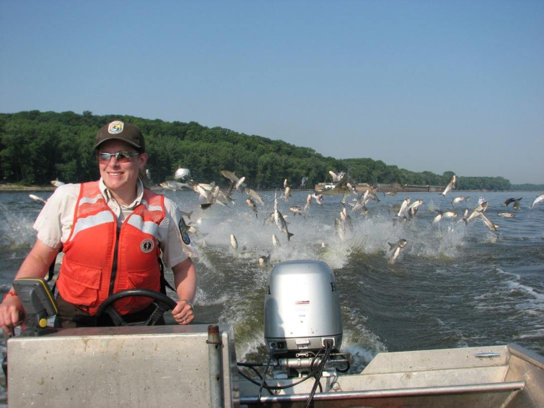
Because they are voracious feeders that grow and multiply rapidly, invasive carp can quickly become abundant and destructive. They consume so much of the nutrient sources from our waters that they disrupt the food web in aquatic ecosystems, destroy habitat and out-compete native fisheries. In the most infested areas, they jeopardize the quality and safety of all kinds of on-the-water recreation. They can also cause significant economic impacts.
Invasive carp were originally imported into the United States for use in aquaculture ponds and wastewater treatment facilities as a way of controlling the growth of algae and other aquatic vegetation. They found their way into the lower Mississippi River through flooding and accidental releases. As they became established throughout the lower Mississippi River, they surged west into the Arkansas, Red and White Rivers, upstream and into the Ohio, Tennessee and Cumberland Rivers reaching east and the Missouri River reaching west. As they moved further north up the Mississippi, they also spread into the Illinois River toward the Great Lakes. Because of potential access through the Chicago area waterway, bighead and silver carp populations are within striking distance of Lake Michigan. Black carp are present in the lower Illinois River and grass carp have begun to populate western Lake Erie.
With our Great Lakes economy, environmental values and exceptional on-the-water recreation at stake, the Invasive Carp Regional Coordinating Committee stands united in our efforts to stop the spread of invasive carp. Widespread monitoring informs our overall invasive carp management strategy, which prioritizes targeted mass removal, the use of deterrents and barriers and rapid response when we detect spread to new areas.

How You Can Help
Everyone plays a role in preventing the spread of invasive carp. Educating yourself and others is key in the fight against these aquatic invaders.
- On many occasions, anglers and other vigilant citizens’ reporting of invasive carp catches or sightings have been extremely helpful as we work to catch new spread early to prevent invasive carp from becoming established in new areas.
- You can familiarize yourself with the physical characteristics of the four invasive carps shown here. Other fish species sometimes are mistaken for invasive carp, including the common carp, blue sucker, bigmouth buffalo, smallmouth buffalo and golden shiner.
- If you catch an invasive carp in any of the Great Lakes or tributaries, please do not release the fish back into the water. Instead, after humanely killing the fish, freeze it in a sealed plastic bag, note the date and specific location where it was caught and contact your state or provincial natural resource agency as soon as possible. The same applies if you observe an invasive carp or find a dead one. You can notify your state natural resource agency of any captures and sightings by using this invasive species report form.
- To make sure you don’t unintentionally violate state and federal wildlife laws:
- Do not keep a live invasive carp in your possession.
- Do not travel across state lines with an invasive carp in your possession.
- Do not move an invasive carp to another body of water even if it is dead.
Other tips:
- Learn the difference between juvenile invasive carp and other young bait fish such as gizzard shad.
- Only use wild-caught baitfish in waters where they came from and don’t move live fish from one location to another.
- Drain lake or river water from live wells and bilges before leaving any waterbody.
- Become an ambassador for your watershed by helping others learn these simple steps.